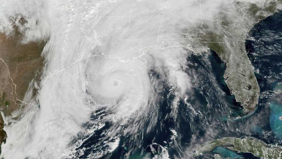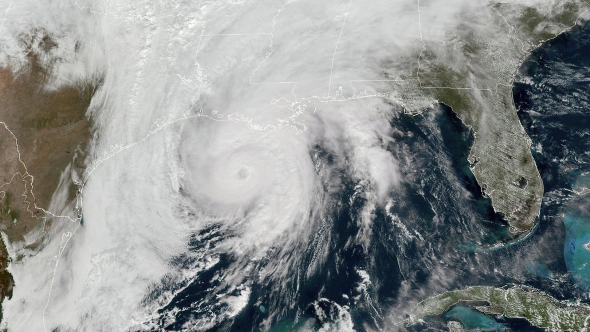
Hurricane Zeta slammed into the southern United States as a Category 2 storm with what government trackers called “a life-threatening storm surge” and dangerous winds in Louisiana, which has been hit repeatedly during a busy hurricane season.
Zeta, packing sustained winds of 175 kilometres an hour, strengthened and moved onto land near Cocodrie in remote southeastern Louisiana on Wednesday afternoon.
It was expected to sweep through the New Orleans area before moving along the Mississippi coast.
The National Hurricane Center issued a hurricane warning that covered New Orleans, and said a “life-threatening storm surge and strong winds [are] expected along portions of the northern Gulf Coast.”
New Orleans Mayor LaToya Cantrell said “this is not a drill,” warning that it was expected the hurricane would soon be “directly impacting the city of New Orleans.”
Officials urged residents to evacuate vulnerable areas or stock up on emergency supplies of food, water, and medication for at least three days.
Some coastal areas were under a mandatory evacuation order, though not New Orleans and its suburbs.
READ MORE: Zeta gains strength near Cuba as historic hurricane season continues
6 PM CDT Hurricane #Zeta update: Life-threatening storm surge and strong winds continue over southeastern Louisiana. https://t.co/bDPuXcHB38 pic.twitter.com/LCQSJ1ur9u
— National Hurricane Center (@NHC_Atlantic) October 28, 2020
551p – Getting reports of calm winds in downtown #NOLA. The eye is moving into the city now. Remember, do not go out into the eye as this storm is moving very quickly and winds will pick up again soon.
— NWS New Orleans (@NWSNewOrleans) October 28, 2020
Dangerous winds and power outages
As rainfall and winds began ahead of the storm’s arrival, New Orleans residents rushed to prepare, boarding up windows, moving vehicles and boats to higher ground, and in some cases stacking sandbags to guard against potential flooding.
The hurricane is the fifth major storm to hit Louisiana this year.
The New Orleans area has repeatedly had to be on guard, though it’s been spared so far this year, with the brunt of earlier storms hitting cities like Lake Charles, some 320 kilometres west near the Texas border.
This time though local officials were urgently warning not to be complacent, particularly due to the risk of dangerous winds and the damage and power outages that could accompany them.
Flooding appeared to be less of a threat this time for the low-lying city, 80 percent of which flooded during 2005’s Hurricane Katrina.
Nevertheless, floodgates in the region were being closed and operators of pumps that can struggle to keep water from rising on New Orleans streets during a typical heavy rainfall were at the ready.
Sheriff Webre just sent me this video of LA 1 south of the levee system in Golden Meadow. Yes, that’s a boat on the roadway. #Zeta pic.twitter.com/bydOrAaocN
— Brennan Matherne (@BrennanMatherne) October 28, 2020
Eyewall of #Zeta ripping into #NOLA now pic.twitter.com/x7RFA9uWT4
— Rob Marciano (@RobMarciano) October 28, 2020
Increase in powerful storms
New Orleans remains traumatised from Hurricane Katrina, which flooded 80 percent of the city and killed more than 1,800 people 15 years ago.
Hurricane defences have been vastly improved since then, but have not yet been truly tested in the New Orleans area.
Zeta had strengthened to a Category 2 storm on a five-grade scale before landfall.
The hurricane brought strong winds and heavy rains to Mexico’s Caribbean coast on Tuesday after making landfall near the resort town of Tulum.
It is the 27th storm of an unusually active Atlantic hurricane season.
In September, meteorologists were forced to use the Greek alphabet to name Atlantic storms for only the second time ever, after the 2020 hurricane season blew through their usual list, ending on Tropical Storm Wilfred.
Scientists say there will likely be an increase in powerful storms as the ocean surface warms due to climate change.
READ MORE: Louisiana begins cleanup as Hurricane Delta weakens and moves on


Discussion about this post