Tropical Storm Laura has formed in the eastern Caribbean and forecasters have said it poses a potential hurricane threat to Florida and the US Gulf Coast. A second storm also may hit the US after running into Mexico’s Yucatan Peninsula.
The new tropical storm was centered about 375 kilometres east-southeast of the northern Leeward Islands on Friday morning, with maximum sustained winds of 75 kph. It was heading west at 33 kph, according to the US National Hurricane Center.
The Center said it might degenerate, or it might blow up into a major hurricane that could hit Florida by Monday or Tuesday and then the Gulf Coast.
The current forecast track, also highly uncertain, would carry it just north of Puerto Rico, the Dominican Republic and Cuba, across the Bahamas en route to the US.
READ MORE: Hurricane Isaias lashes the Bahamas as it bears down on Florida
Near hurricane force
Meanwhile, Tropical Depression 14 was nearing the coast of Honduras on Friday morning, and the US National Hurricane Center said it was expected to veer northwest and cut across the tip of Mexico’s Yucatan Peninsula Sunday, possibly at or near hurricane force.
A hurricane watch was in effect for the strip of coast containing Tulum, Playa del Carmen and Cancun, as well as Cozumel island.
From there, the long-term forecast track would carry it to the US Gulf Coast, perhaps Texas or Louisiana, by Tuesday or Wednesday, again, possibly, as a hurricane.
En route, it’s likely to soak flood-prone eastern Honduras, the Cayman Islands and parts of the Yucatan.
On Friday morning, it was centered about 255 kilometres east of the Honduran resort island of Roatan with 55 kph winds. It was headed west-northwest at 19 kph.
READ MORE: Threat to Florida eases as Isaias remains tropical storm
#Genevieve is weakening as it nears Baja California. Maximum sustained winds now at 85mph. The center is expected to pass tonight and Thursday. Expect strong wind, heavy rain and flooding for portions of the peninsula. pic.twitter.com/XqnDeCLFs8
— Alexa Santa (@AlexaSantaWX) August 20, 2020
Life-threatening flash flooding
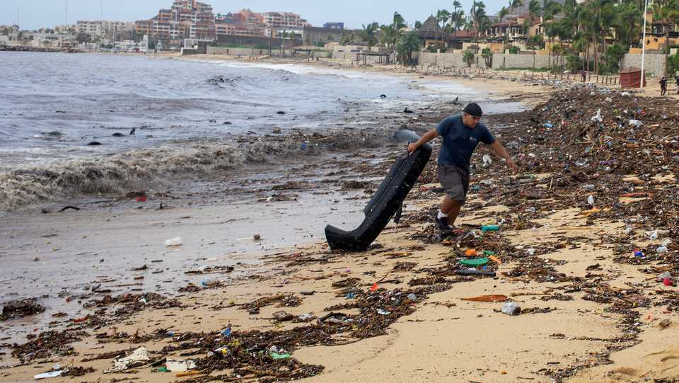
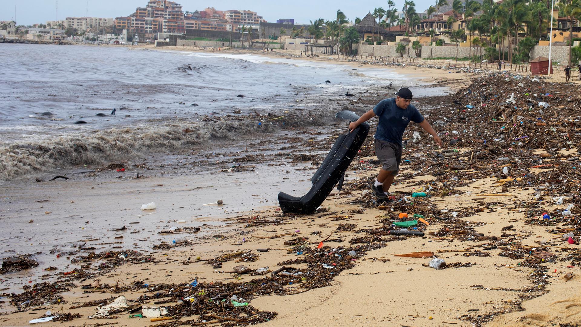
In the Pacific, packing sustained winds of 115 miles per hour (185 km/hour), with even higher gusts, Hurricane Genevieve was set to brush the southern tip of Mexico’s Baja California peninsula on Wednesday, as two people drowned in heavy seas, authorities said.
In a change from previous forecasts, NHC said a hurricane warning was in effect in an area including the resorts of Los Cabos and the town of Todos Santos.
“The center of Genevieve is forecast to pass near or just west of the Baja California peninsula …hurricane conditions are expected within the hurricane warning area beginning tonight and continuing into Thursday,” the NHC said.
The NHC warned that heavy rainfall from Genevieve may lead to life-threatening flash flooding and mudslides across portions of the far southern end of Baja California Sur through Thursday.
The storm is also expected to produce swells that are likely to cause life-threatening surf and rip current conditions.
READ MORE: At-risk Caribbean scrambles to prepare for hurricanes during pandemic


Discussion about this post